Notes from the Field: Karate trainning, police search and long flight.

Comment

Notes from the Field: Karate trainning, police search and long flight.

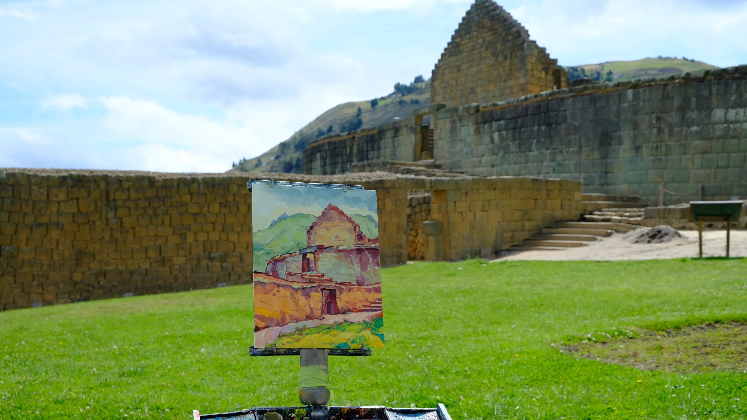
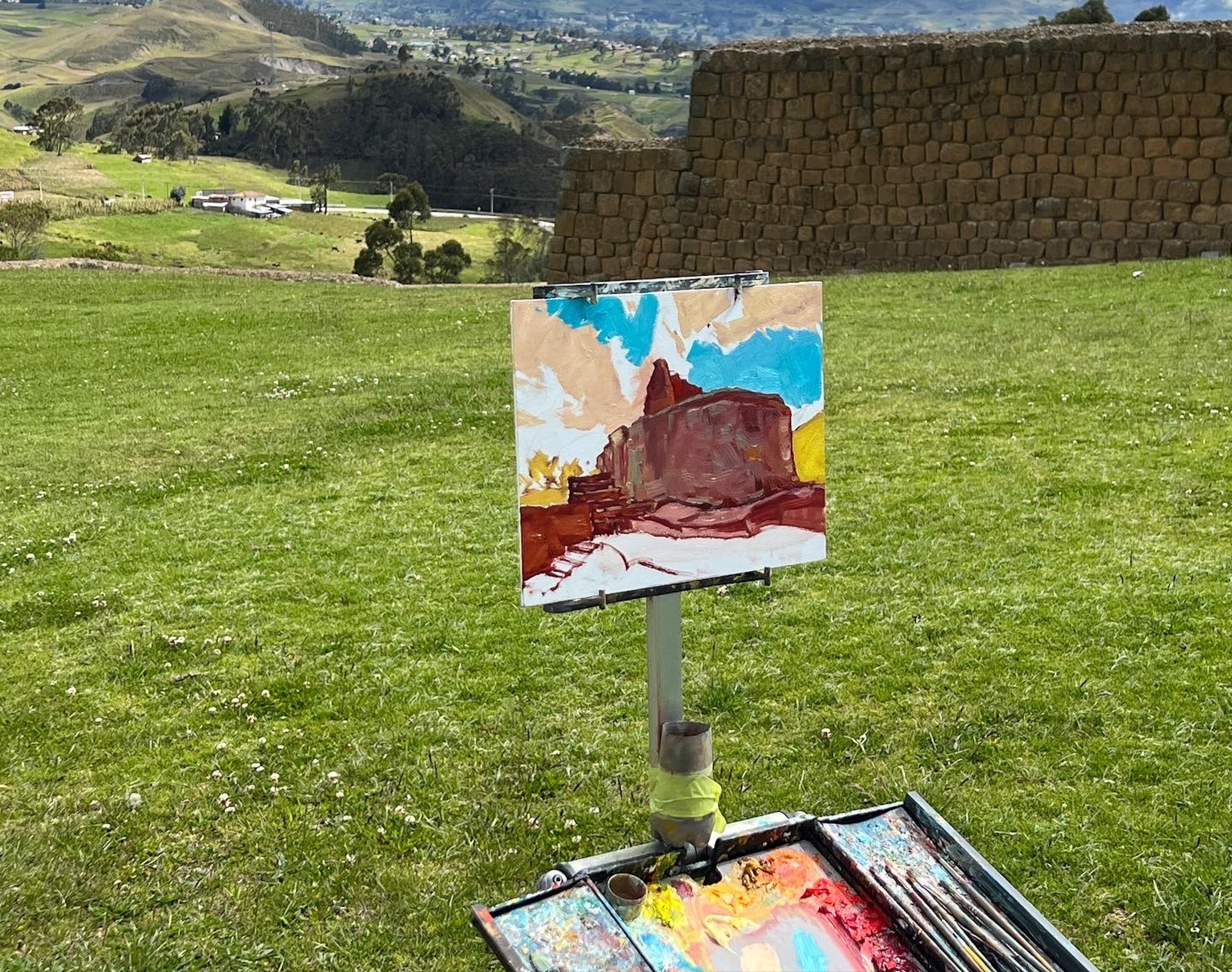
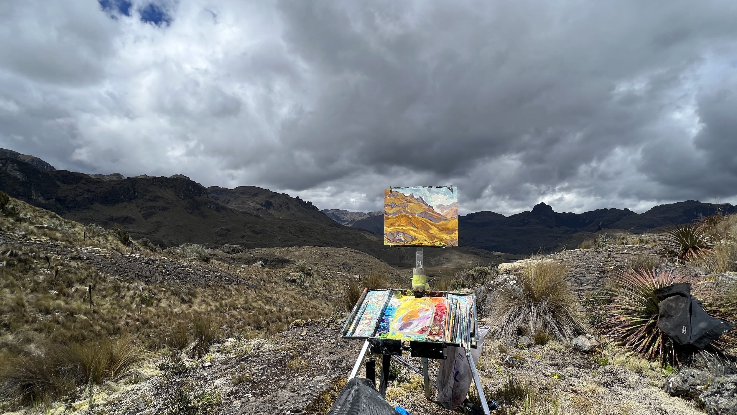
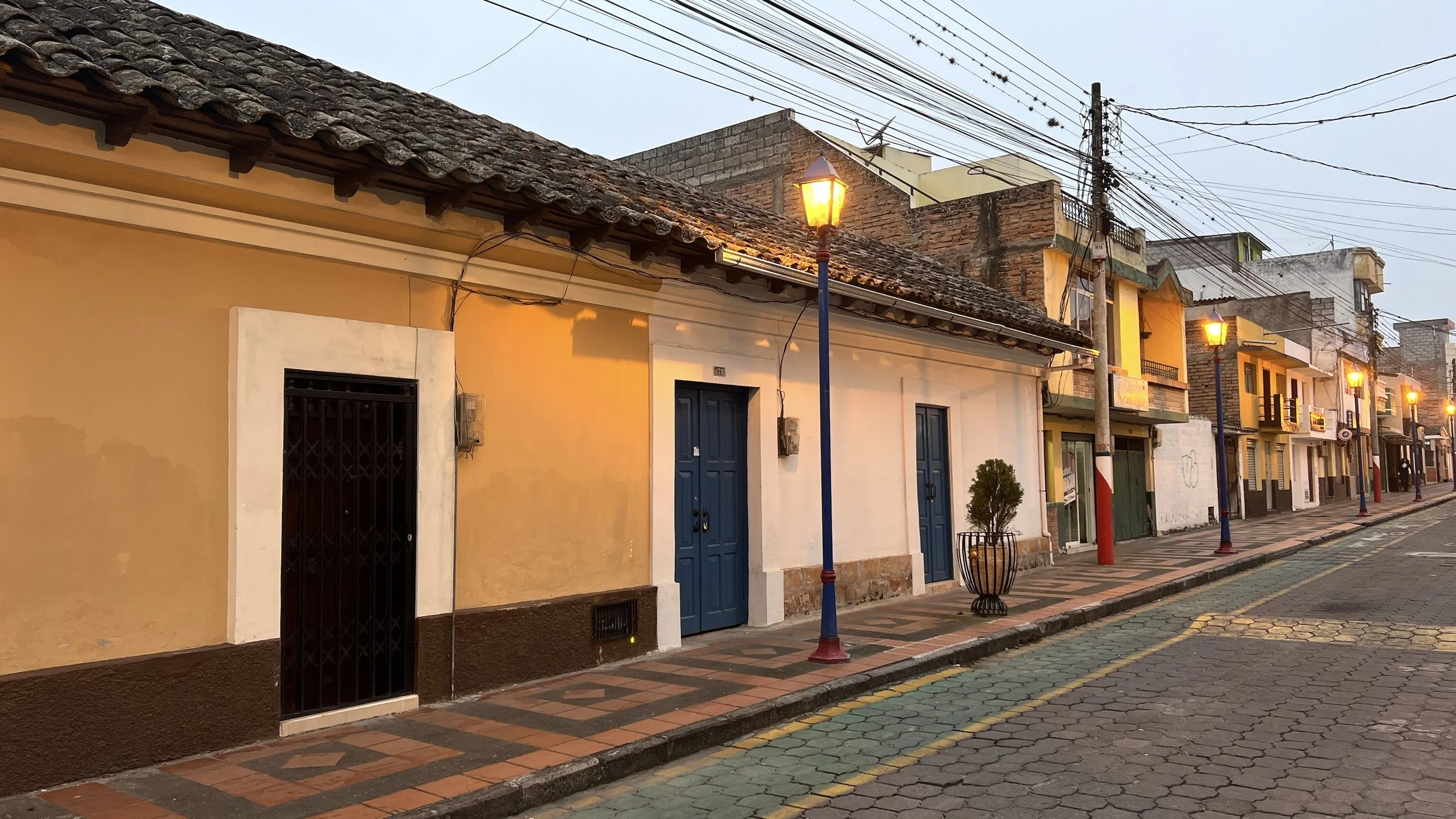
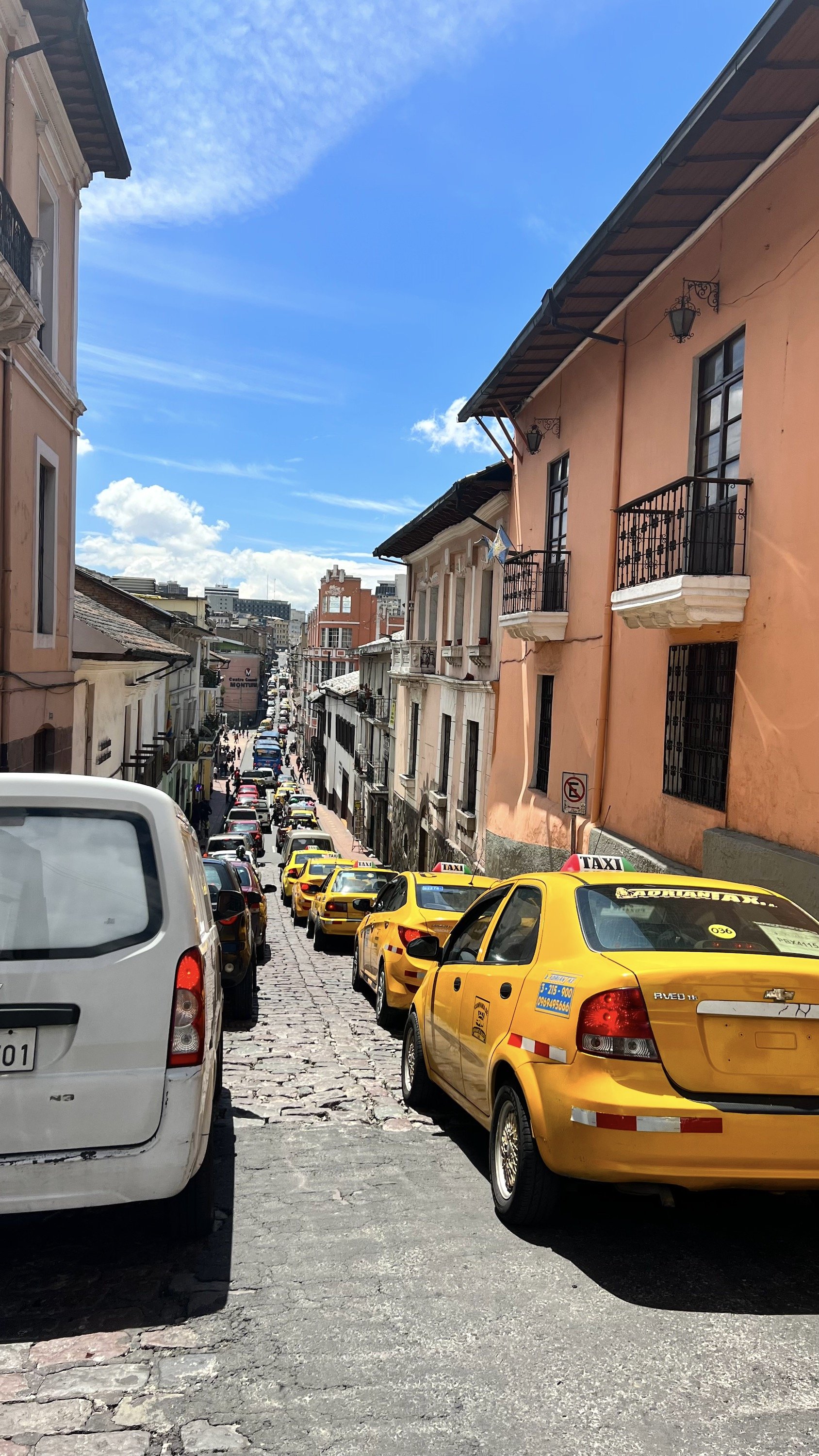
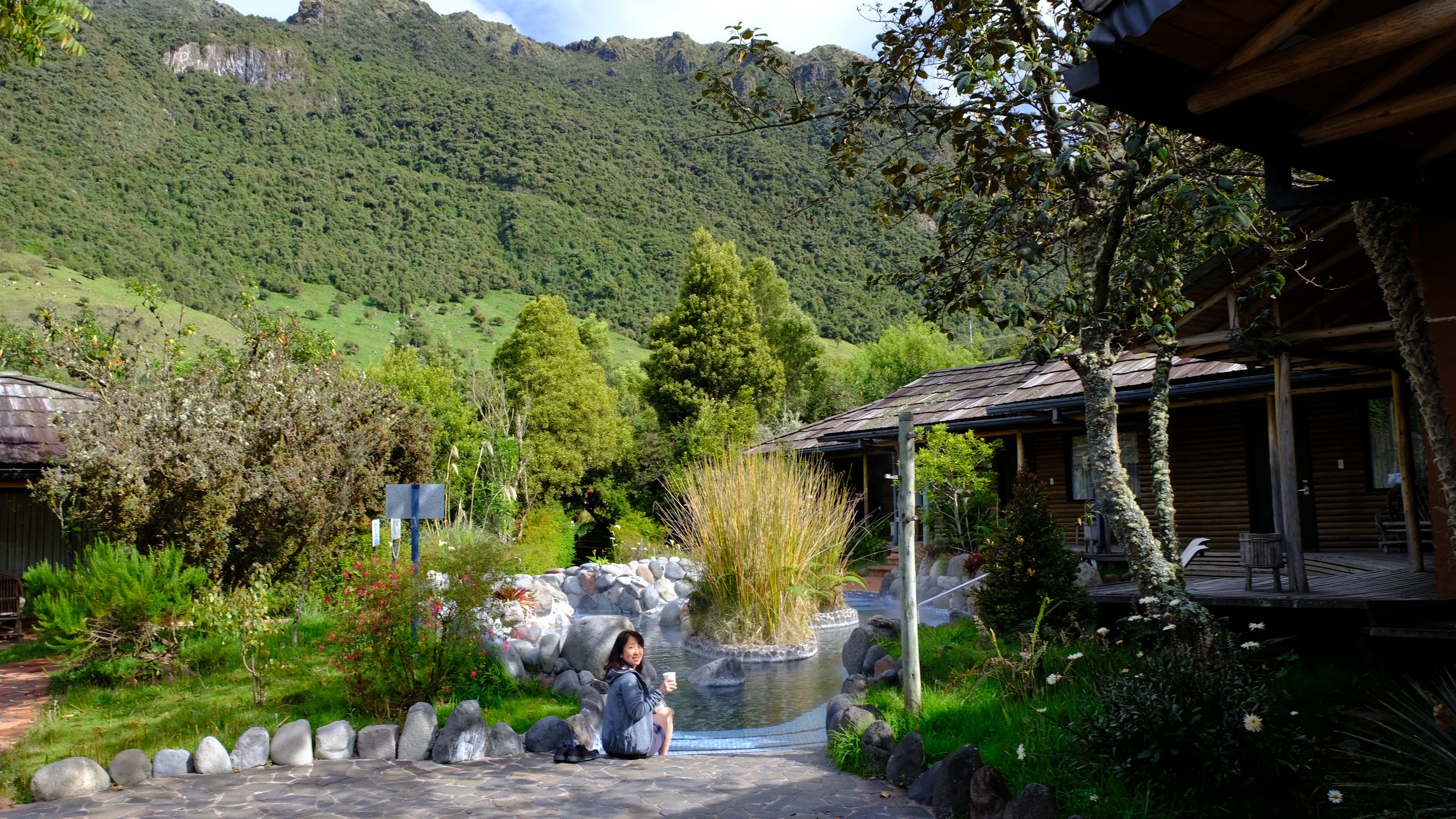
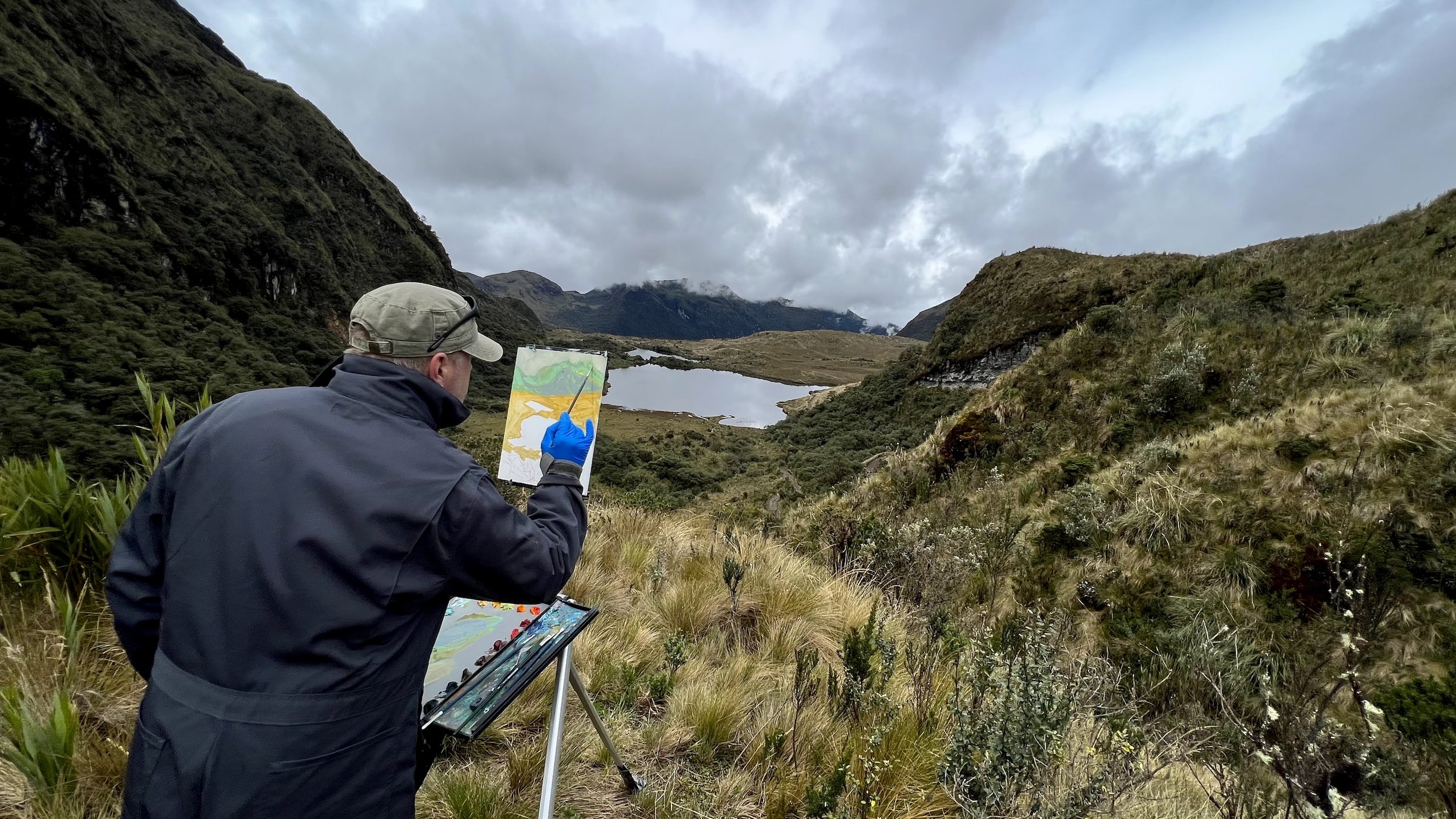
I finally arrived in Quito to get ready for my departure. There is always a process of repacking the paintings to plastics sleeves and making sure they would travel safely. This time, after driving for two months in Ecuador, driving in Quito did not even faze me. It is amazing what you can get used to.

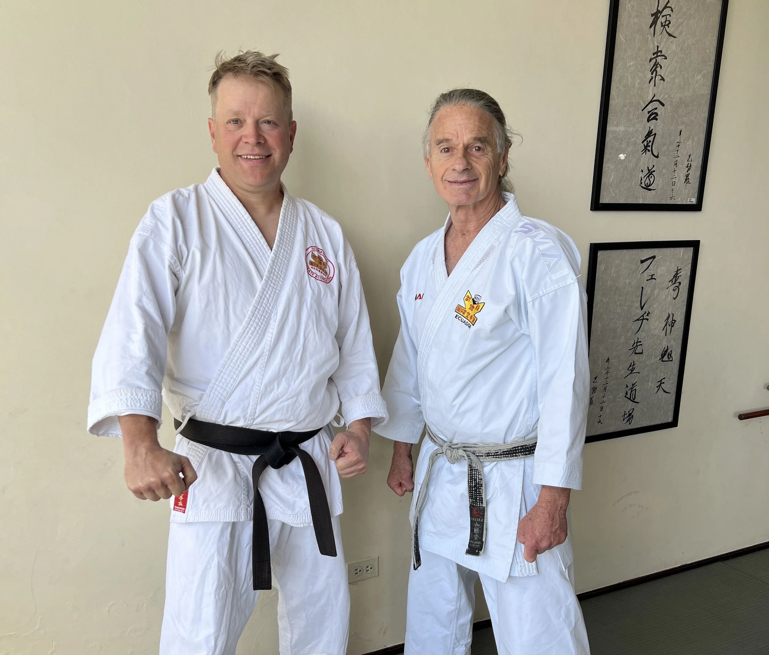
Upon arriving in Ecuador in June I was introduced through mutual Canadian friends to Hanshi Rafael Janowitzer who is a member of our Karate organization, IKA. Rafael is the biggest distributor of martial arts equipment in Ecuador, teaches karate at his own dojo in Quito and he is the head of IKA for Ecuador.

Back in June Rafael asked me to teach a class to his black belt class once I return to Quito. After good day rest, we met up on Sunday in the dojo with 30 other black belts. It was a pleasure to meet new martial artist, teach in the amazing dojo and share the karate spirit.

Monday was finally time to go back to Canada and my flight did not leave till late night. I spent a relaxing day with Rafael and his family. Upon arriving at the airport and checking in, I was called into airport security and police station in regards to my luggage. I knew exactly what it was about, my art supplies. The guard took me into the belie of the airport where I was met with armed police personnel. They asked me to open luggage in question, after short back and forth of explaining that I was an artist and those are the tubes of oil paint, it was all smiles. I always carry safety data sheet which indicate the flash point. I was free to go and 20hrs of flight was ahead of me.

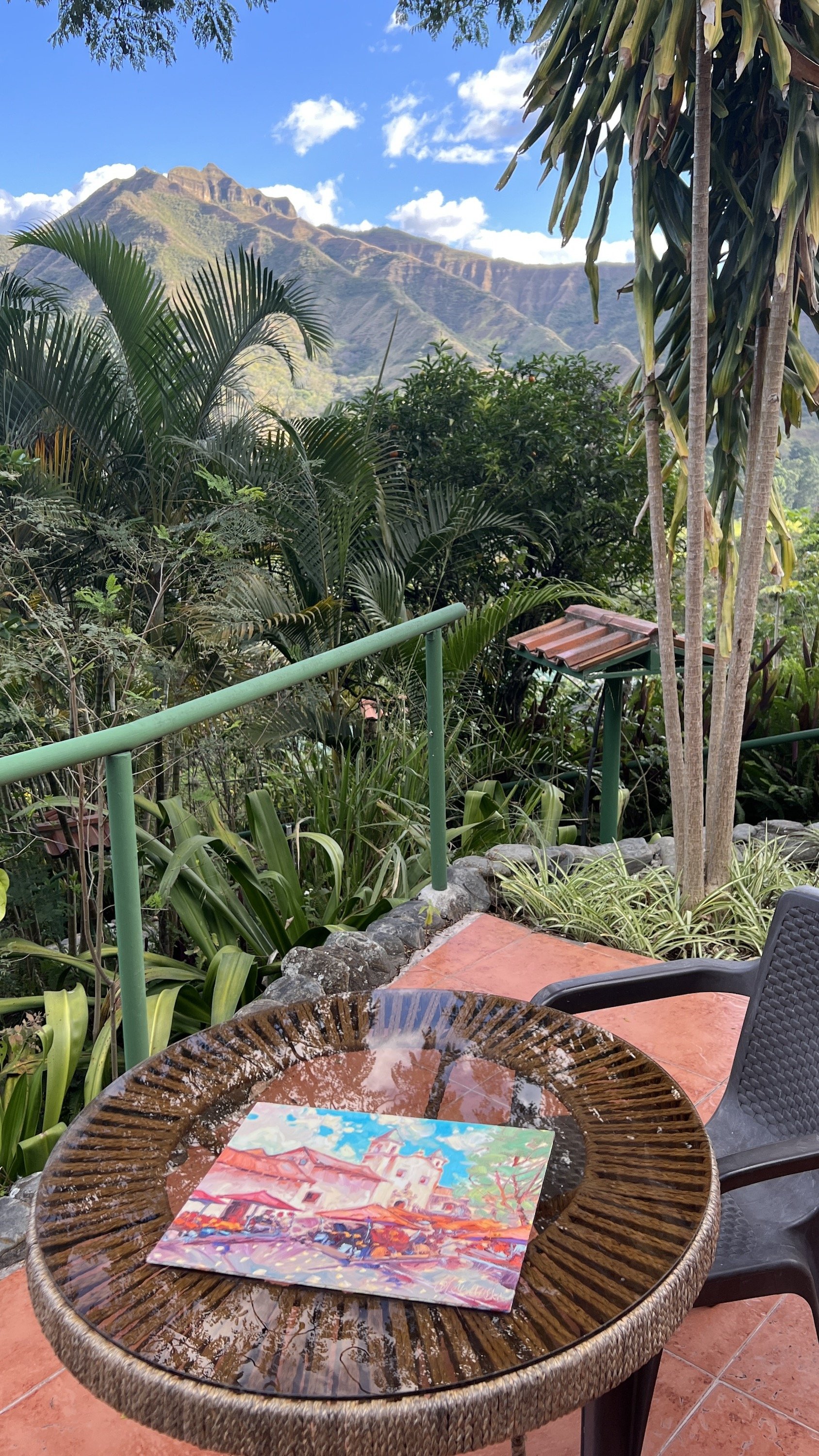
Next day I arrived back, exhausted with really bad back pain from caring all my paintings in my carry on. I never leave the paintings in my luggage, since they represent unreplaceable value.

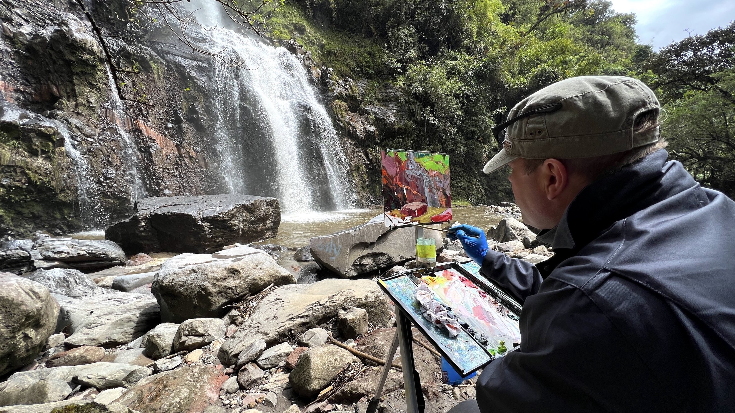
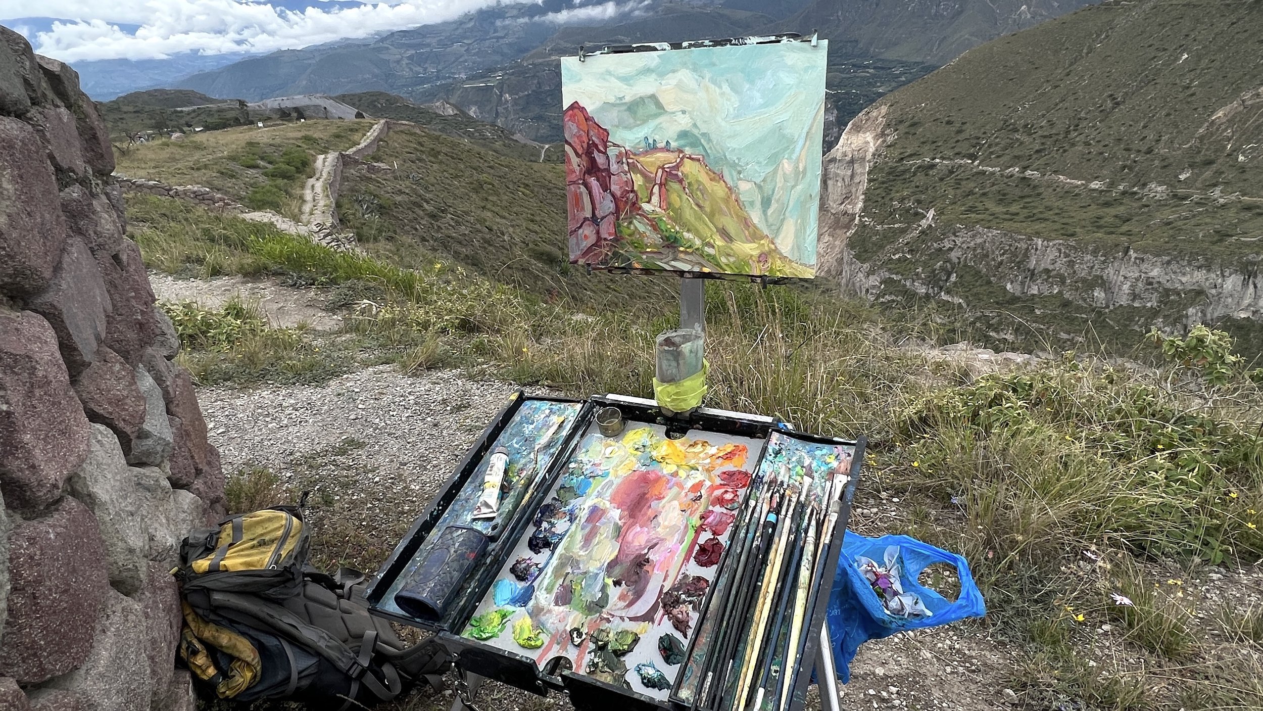
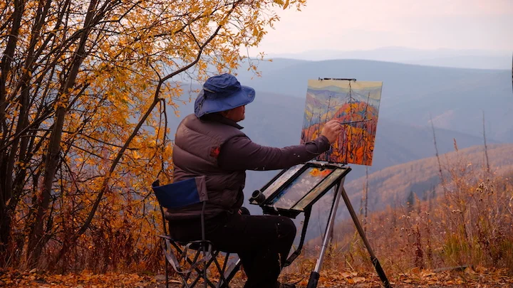
Now it is time, unwide, enjoy comforts of home and get back to studio painting.

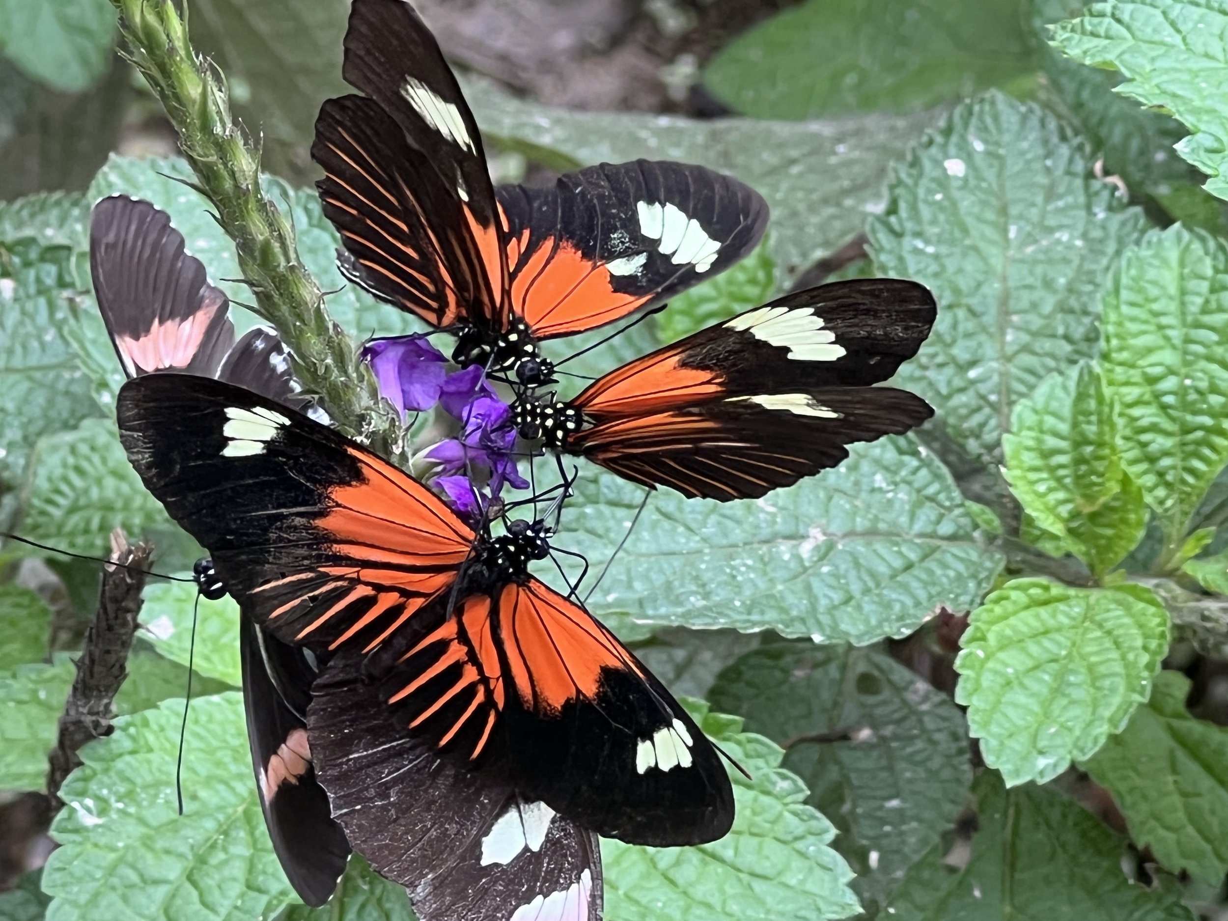
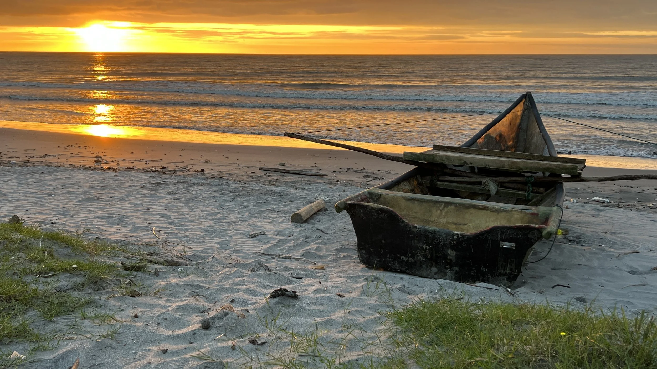
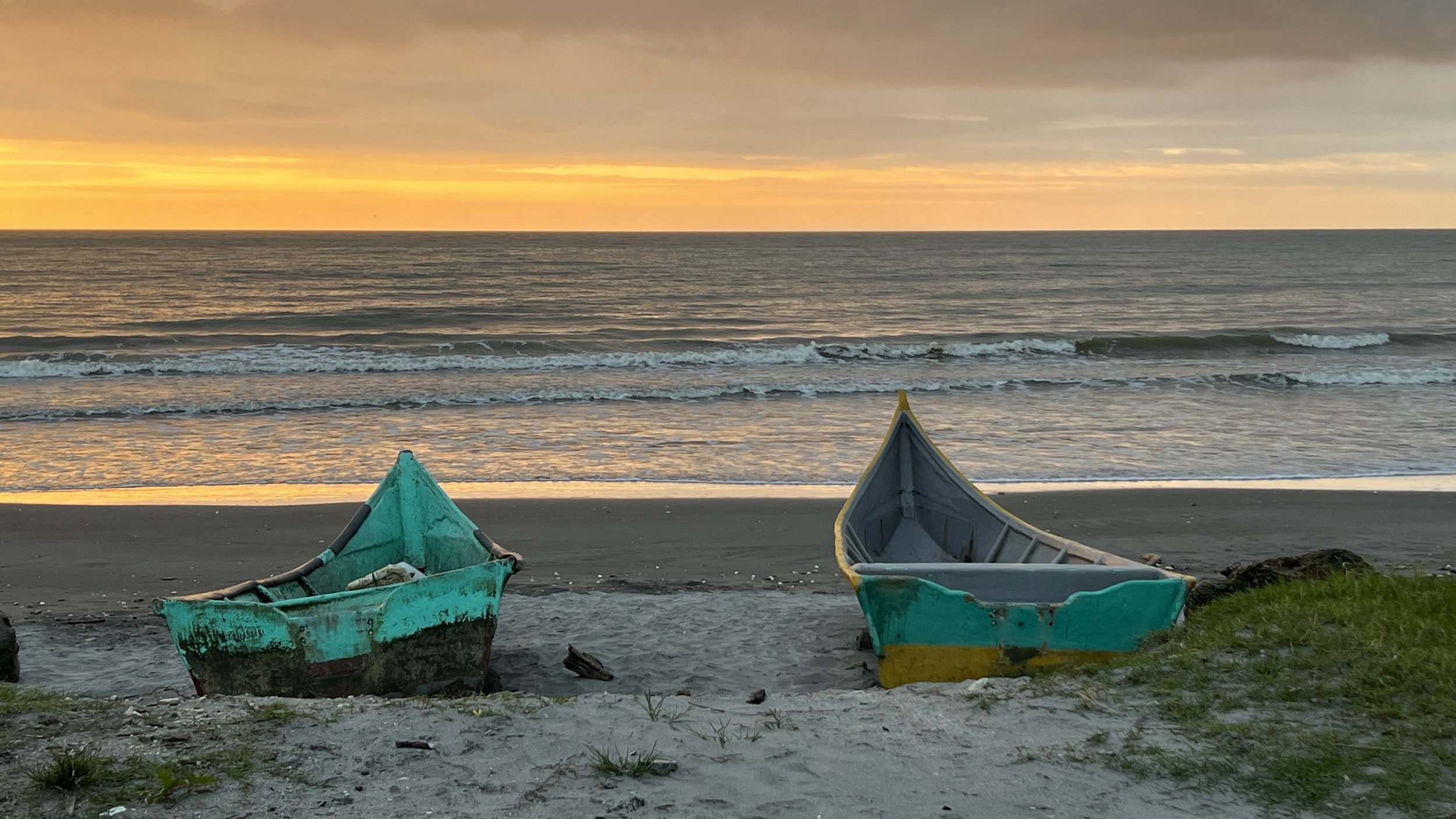
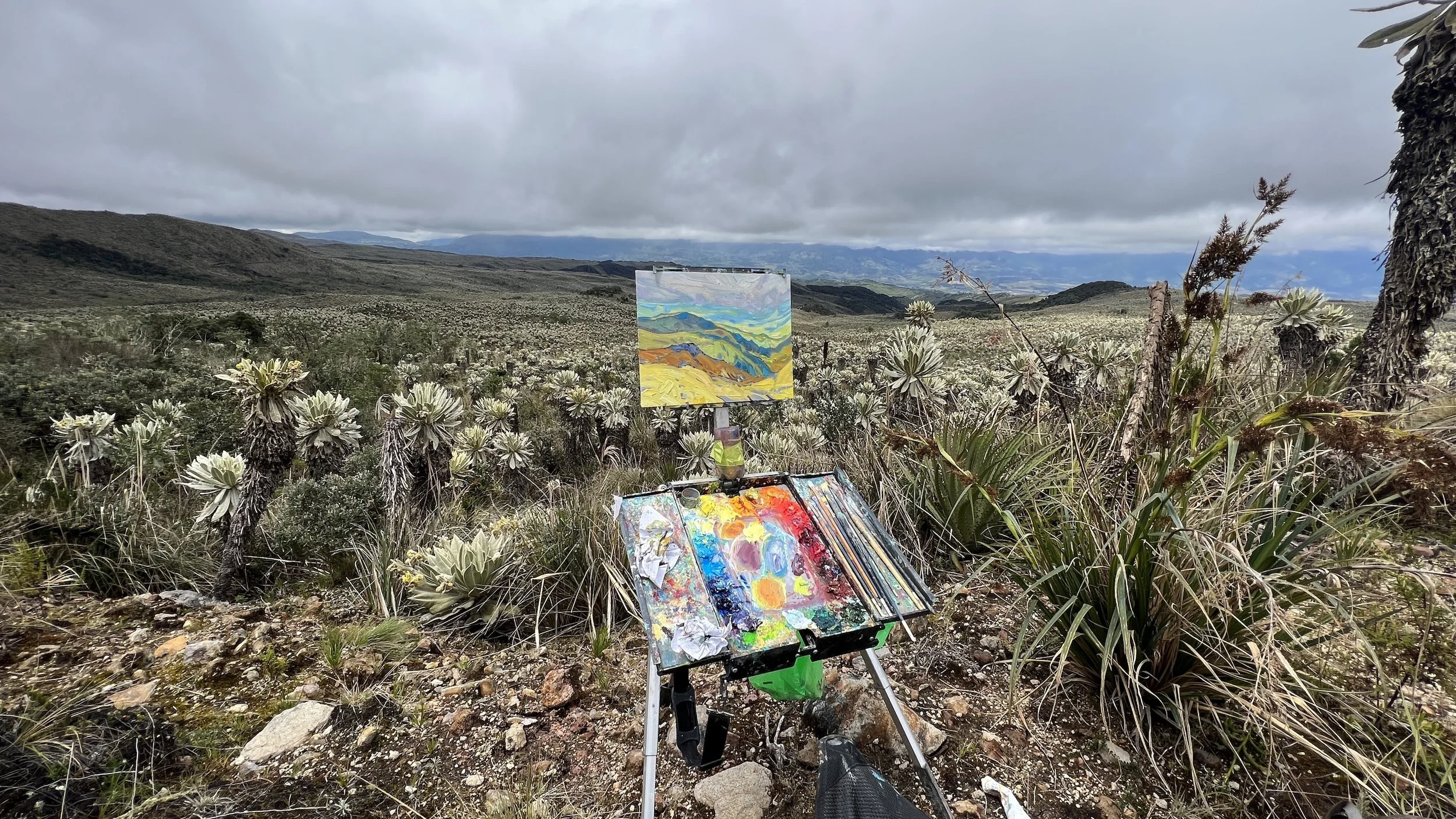
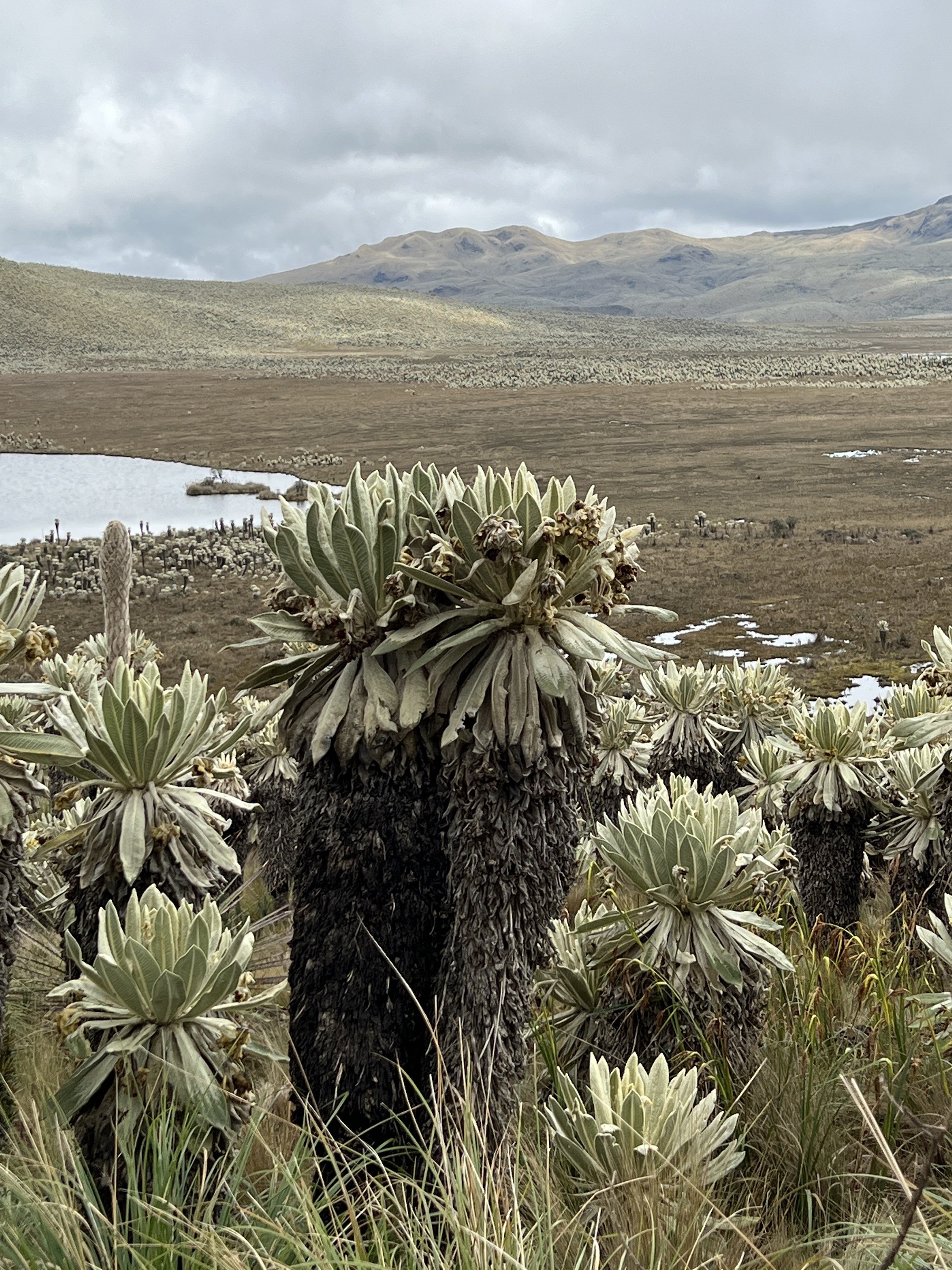
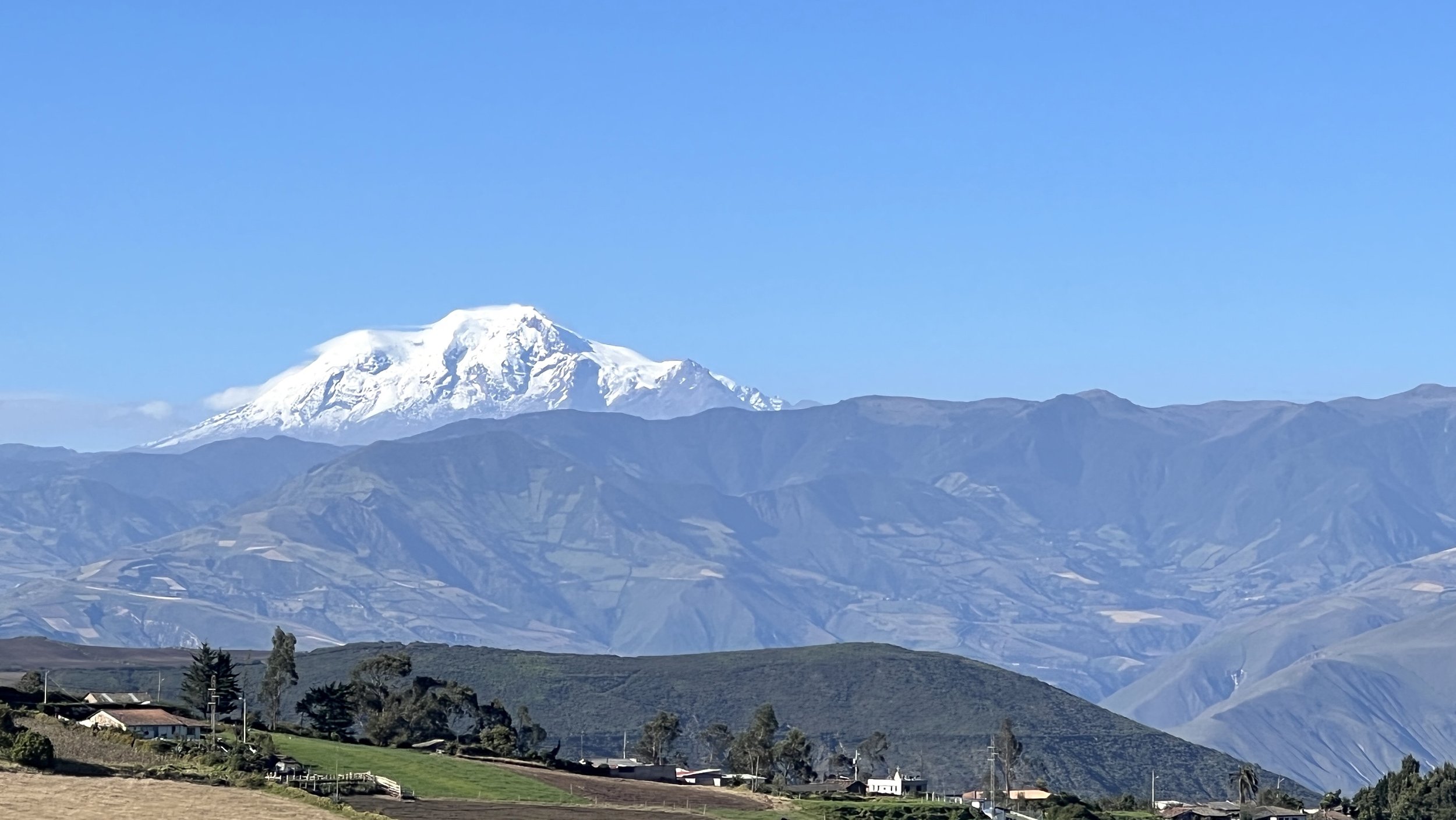
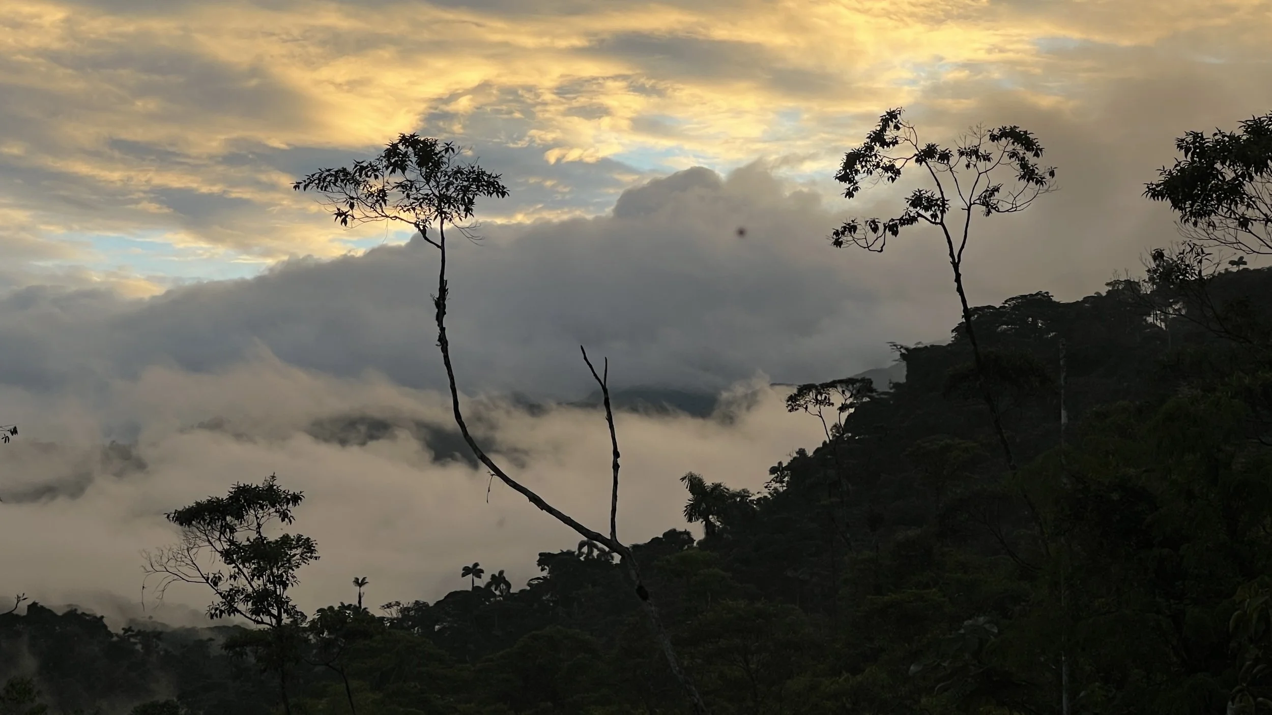
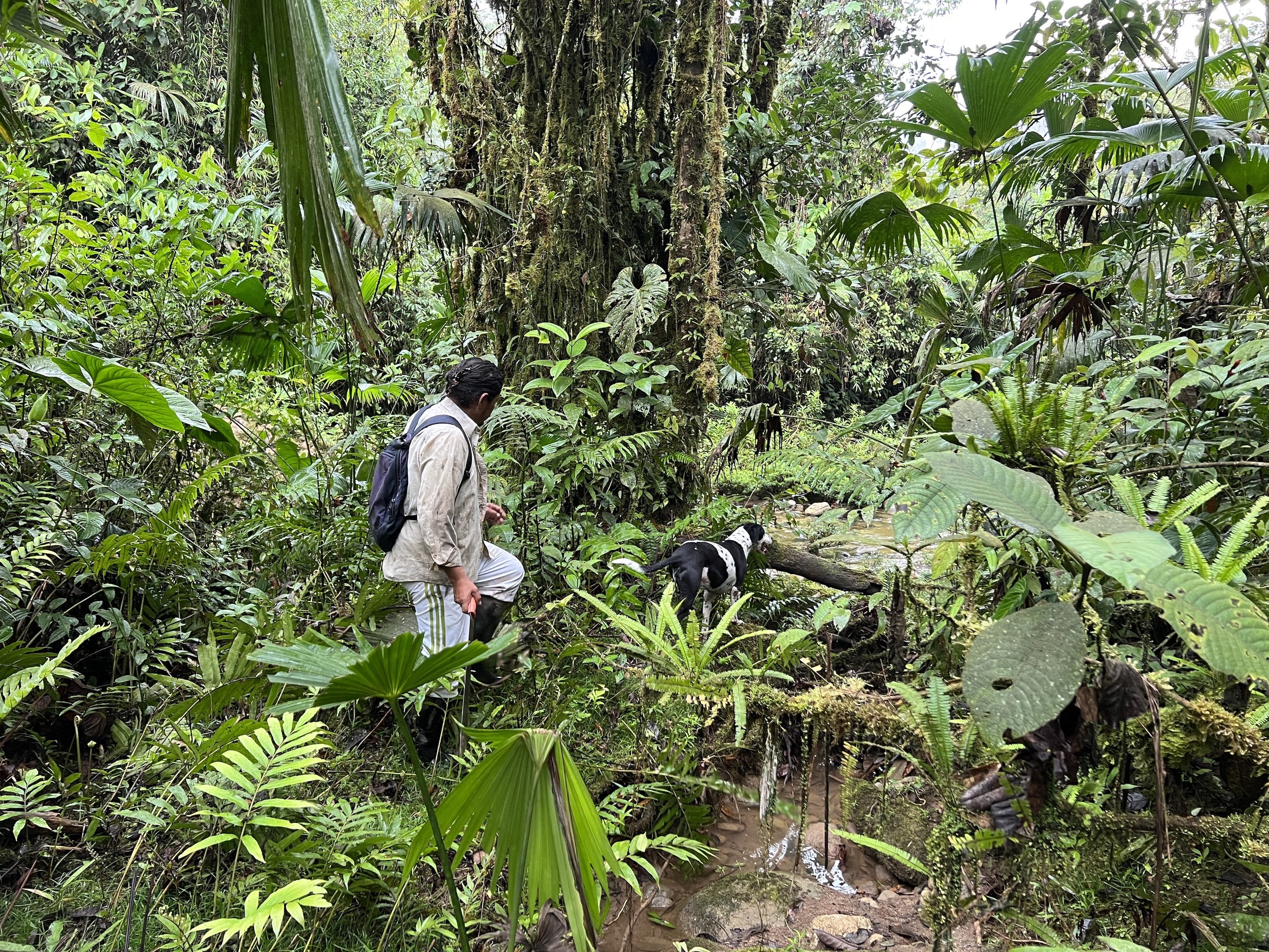
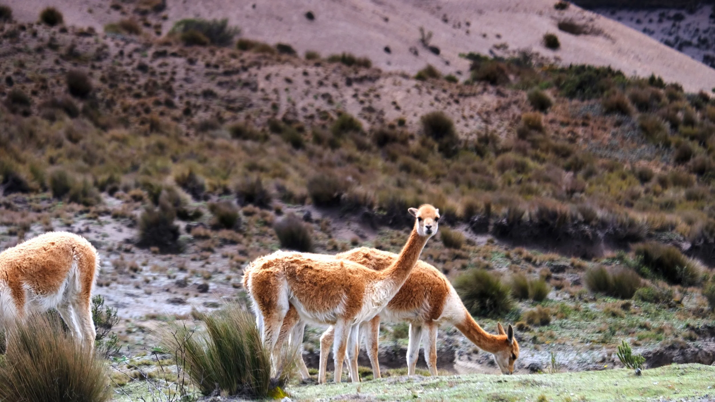
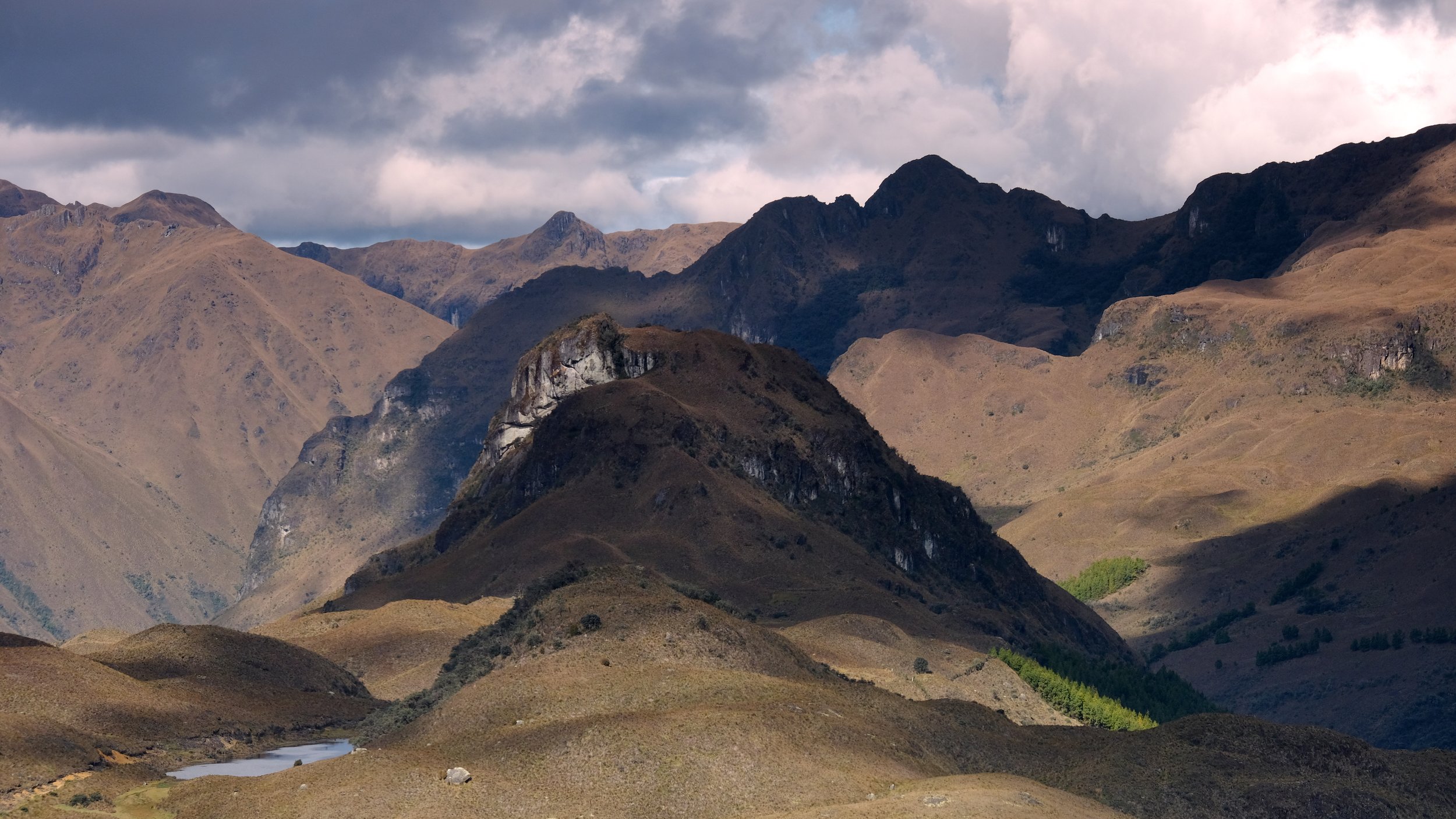
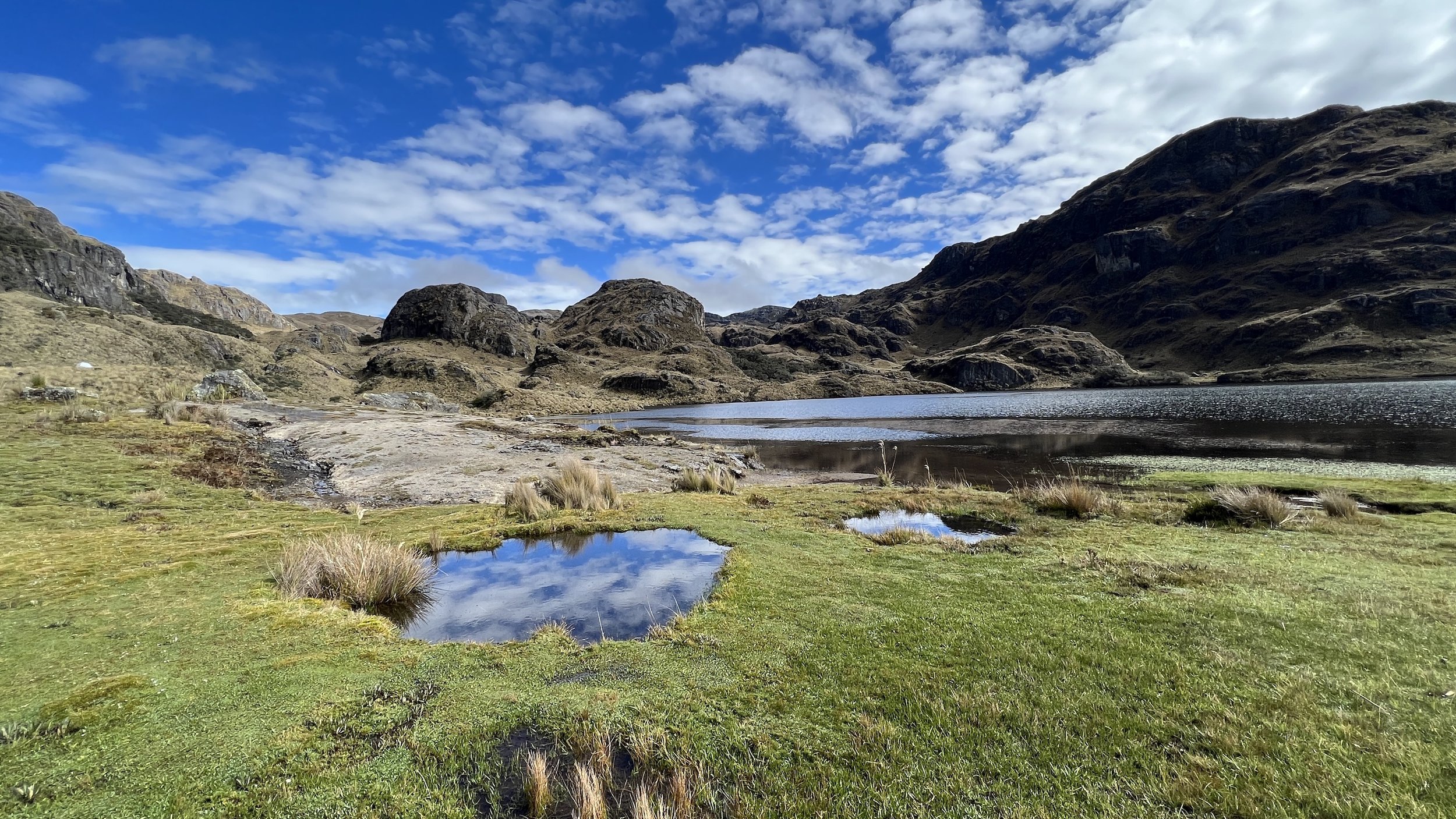
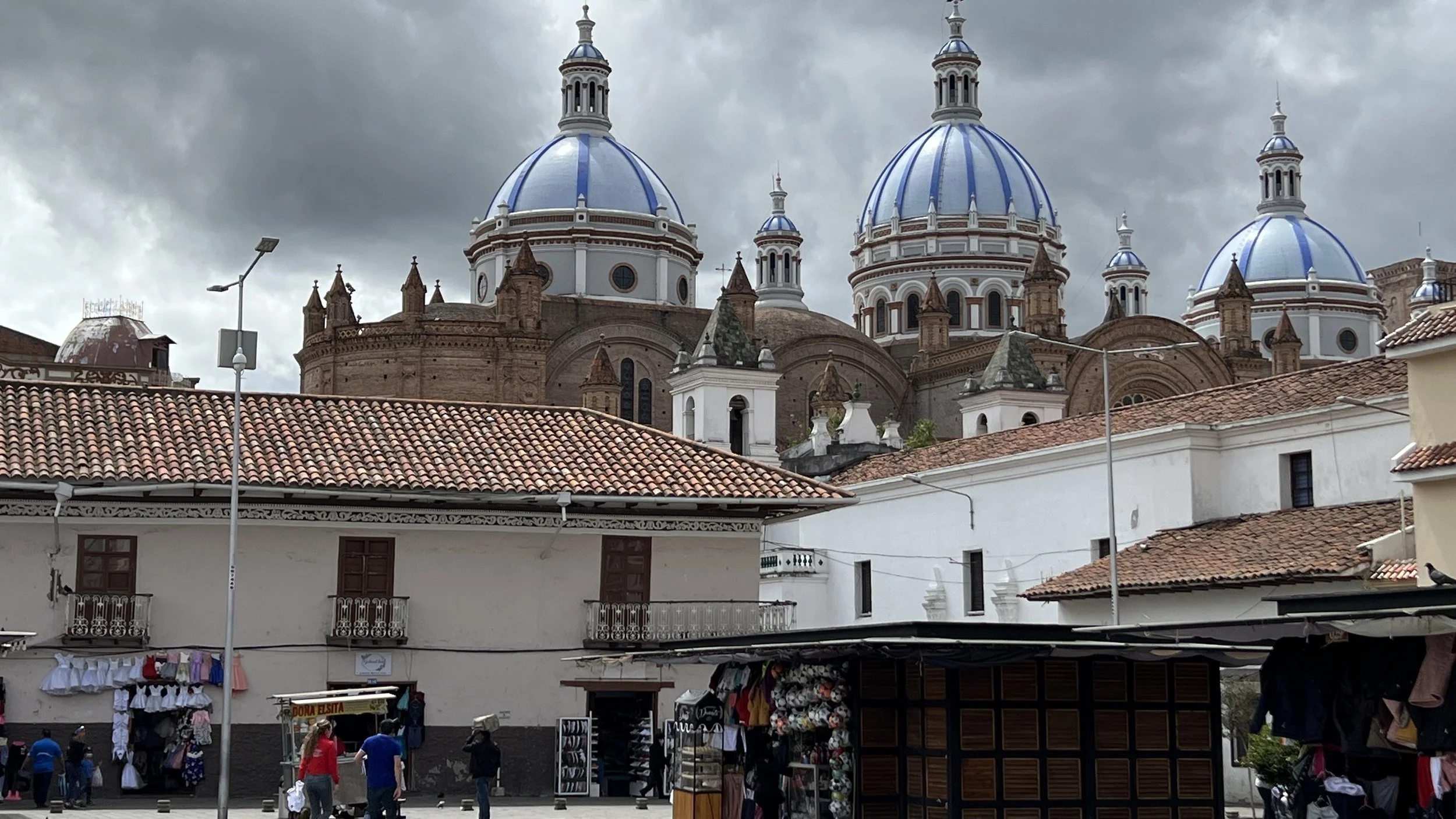
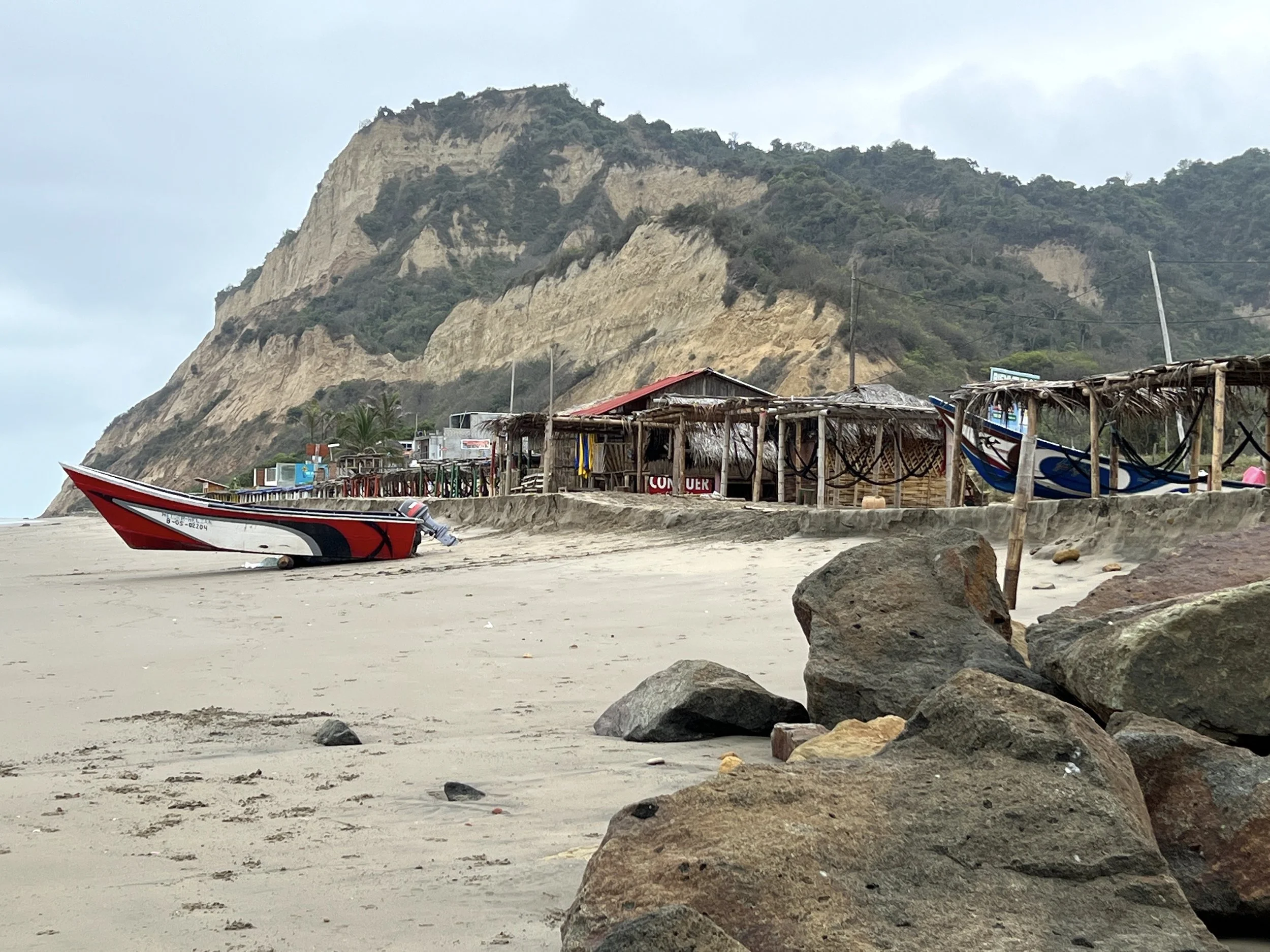
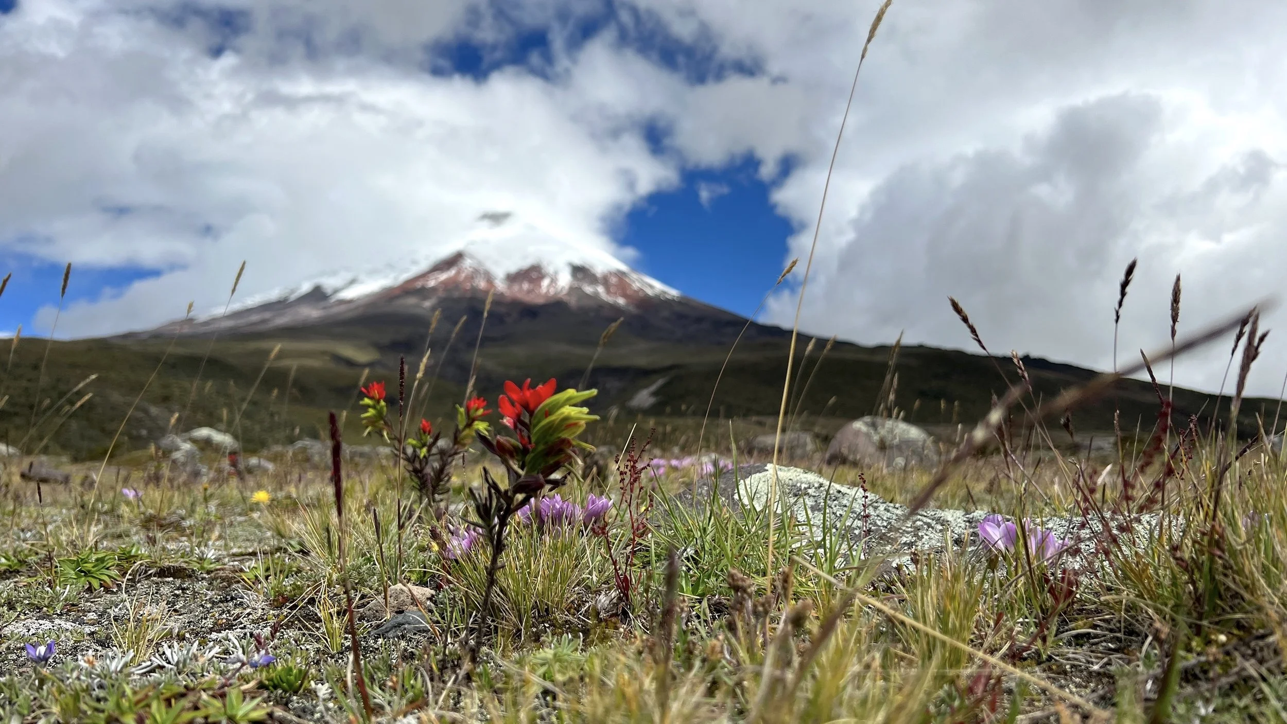
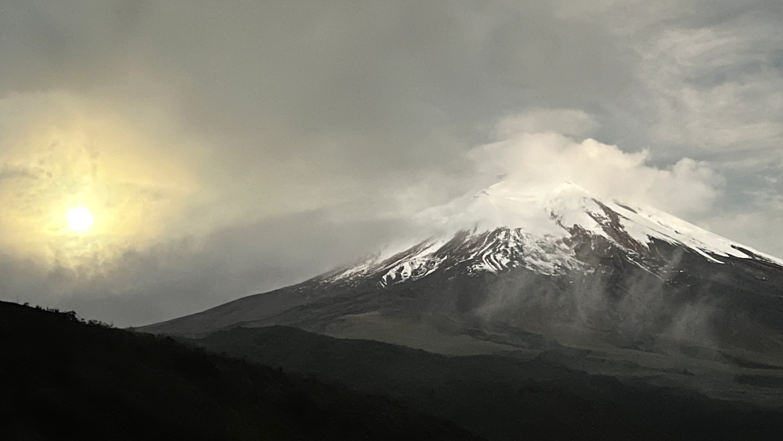
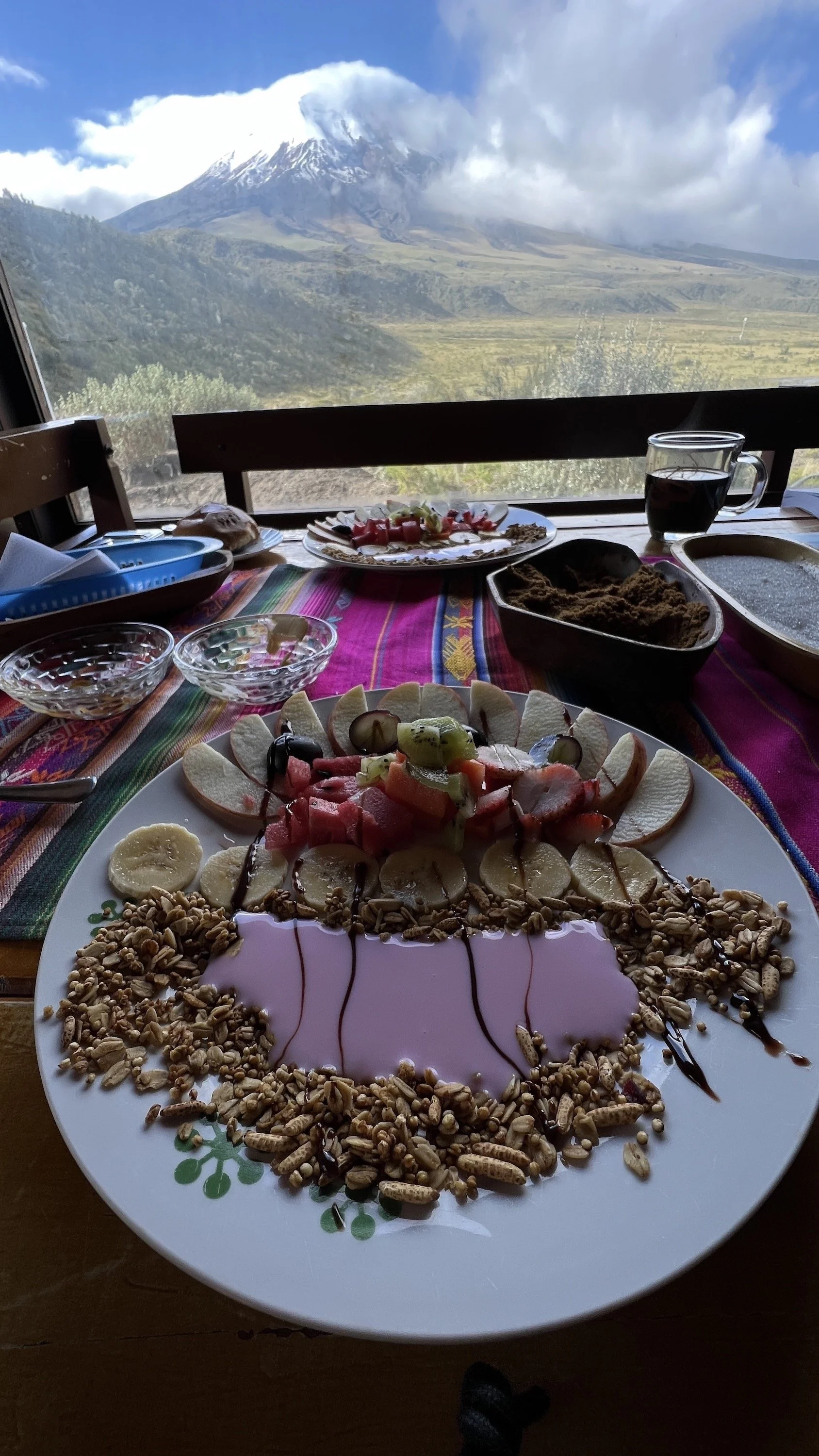
Well Ecuador was blast! I am looking forward to returning again to South America soon.


Comment

Notes from the Field: On the Chocolate Trail

1 Comment

Notes from the Field: On the Chocolate Trail

After five days it was time to leave the coast and head back inland towards Quito. Once again, I was shaken up for a bribe at another police check. This time I did not waste any time arguing my case and asked straight forward, how much..It solved the problem and I was on my way under 5 minutes.

 My last adventure in Ecuador was Mindo. It is a small village in the western Andes Mountains. It's known best known for the many bird species, butterflies and orchids found in the surrounding cloud forest, part of the Mindo-Nambillo Reserve.


 Mindo was a breath of fresh air, both from surrounding cloud forest and really attractive main street full of houses, restaurants and coffee shops. I spent the next couple of days exploring surrounding valleys of the cloud forest and endless waterfalls. The whole area teams with rich vegetation and many species of wildlife.


 Mindo is famous for its chocolate production and I was able to visit one of its production facilities. What was interesting that learned is that coco seed has to ferment for about 6 days covered in banana leaves in order to lose its bitterness. And of course, I got some locally made chocolate to bring home. Probably the best I ever had!


1 Comment

 Notes from the Field: Las Peñas

1 Comment

Notes from the Field: Las Peñas

Being on the road for nearly two months and working steady on my plein work, I thought now it would be a good idea to chill out and relax during the last few days in Ecuador. I decided to spend my last week on beach and headed along the Colombian border to Las Peñas a small fishing community just north of Esmeraldas.

Sun continued to shine as I approached the coastline and all the communities, I passed by were inhabited by African decedents, which was interesting once again to see how diverse Ecuador is as a country.

Just before reaching the coast I was stopped by the police check point and got shaken up for $50 ’fine’. My car got searched for drugs and then supposedly my paper work was not up to date. After long back and forth with rental company on the phone police suggested I pay the fine on the spot otherwise they said they would impound the car and I would be walking to Quito. I suspected it was all BS all along but in Ecuador patience and smile goes a long way.

I arrived in Las Peñas late afternoon and found a hotel right on the beach for $10/night. It was bare bones, but full of character. I got to know the family that run the place and they were from Colombia.

The village consisted of several fishing bamboo/wooden structures along the ocean and many seafood restaurants with spectacular ocean views. The food was so affordable that I was going for lunch and dinner each day and made a point of visiting different restaurant each time. My all-time favorite was as always shrimp ceviche. Each place served slightly differently so it was interesting to compare it from culinary point of view.

I found the location so relaxing that decided to stay for few days and totally give in to beach life style. Being consistently warm and having a lot of sunshine was a nice change from the interior. I needed badly to replenish my vitamin D and not have to deal with challenges of altitude.

From art perspective I found the fishing structures fascinating and ended up doing few sketches right on the beach. As I was painting, fisherman would arrive in their small boats pulling it up on the beach and unloading the catch of the day. Seating like that on front of my easel, I realized the life routine probably has not changed for them for decades and it will stay the same for foreseeable future.


‘Fishing Shacks of Las Penas’ 11” x 14” oil on board


‘Fishing Village, Las Penas’ 11” x 14” oil on board


‘Las Penas Beach’ 11” x 14” oil on board


1 Comment

Notes from the Field: El Ángel

Comment

Notes from the Field: El Ángel


 With constant rains on the easter slopes of the Andes and having another 10 days left into my trip, I decided to drive north all the way towards Columbian border. The weather had defiantly improved as I arrived in a little town of El Ángel in the Carchi province. I found an amazing hotel in the heart of the town which has very friendly atmosphere with smiling locals and great little restaurants.


 Just north of town is El Ángel Ecological Reserve.   The Reserve was created specifically to protect Frailejones plants. Frailejones look like a big, upright tube with bunny ears on top. Evidentially, the early Spanish explorers thought they looked like Franciscan friars wearing hats (the word fraile is Spanish for friar) and the name stuck. There are 142 identified species of them and are only found at over 6000 feet in the high paramos of Venezuela, Colombia, and the very north of Ecuador. The park itself is also a home to more than 125 animal species.


 Lots of people were warning me about growing violence of the border region, but it proved to be one of the most peaceful regions I visited. The road to the park proved to be an adventure once again, as its condition deteriorated rapidly outside mountain villages. I spent the whole day painting at the park, focusing on the wonderfully play of light and shadows over mountains below me.


‘El Angel View’ 14” x 11” oil on board


‘On the Colombian Border’ 11” x 14” oil on board


Comment

Notes from the Field: Into the Jungle

Comment

Notes from the Field: Into the Jungle

The jungle region of Ecuador is called Oriente. The eastern slopes of the Andes vegetation becomes more dense and tropical giving away to low lands of tick jungles and hundreds of rivers. From Baños I traveled a short distance over the mountain pass doted with many incredibly high waterfalls falling into the canyon bellow. Wanting to spend some time in actual jungle I booked a spot at small ecolodge for incredibly affordable price of $25/night.  It was located about 25 north of Puyo along a dirt track.

The main structure was built out of local materials, mainly tick bamboo which supported the structure. The humidity became much more noticeable and the rain became more frequent during the afternoons. Local guide Julio took me on few jungle hikes highlighting medicinal plants and local flora and fauna. As we were hiking a dense forest, I realized how much I was out of my element. Being totally at ease in the mountains and forests of the North, the jungle is a completely different environment and requires an acquired knowledge to safely navigate it.

 I really enjoyed Julio’s company since I was the only guest and the lodge has not received many visitors over the pandemic. My preference when I travel is to make friends and connections with local people, because only then I can experience true flavor of the country I travel through.


‘Eastern Slopes’ 11” x 14” oil on board


‘Rain Clouds over the Jungle’ 14” x 11” oil on board


Comment

Notes fro the Field: On the way to Baños.

Comment

Notes fro the Field: On the way to Baños.

Next stop on my adventure was town of Baños in the very narrow Andean mountain valley. It is famous for its numerous waterfalls and adventure tourism. Before arriving in my next destination, I decided to explore some mountain areas of the Sangay National Park. The access into the park is very limited with only few dirt roads leading to mountain villages. The weather proofed to be very challenging with fog obscuring most of the landscape and occasional rain with snow. Couple times I had to turn back since the road became washed out and was not passable any more for any type of vehicle. Traveling according to map in Ecuador is merely a suggestion, since one never knows what awaits few kilometers ahead. Finally, I arrived in Riobamba, to resupply. Hoping to stay in the mountains overnight I drove another access point and once again to discover that the road was not passable. The night has arrived and not able to find any accommodation I found a little flat spot near village where I set up the tent. Spending a night like that is not ideal, but its always safe. In the morning I was greeted by wondering donkeys and villagers coming and going from the fields.

Since I was not able to get into the mountains, I continued on into town of Baños. The weather finally had cleared with blue sky and it was an upbeat drive through some very spectacular mountain roads. The arid landscape changed into more tropical and lush vegetation and waterfalls flowing from mountain tops.


Baños itself is a colorful town geared towards tourism with many great restaurants and adventure companies. My accommodation for next few nights was a mountain cabin about 15km just outside town overlooking a lush valley. It was a total unexpected find, it was beautifully finished in wood with large windows all around, fireplace, bathtub, and huge deck. I took full advantage of it since I was tired from camping and being on the road for many days.

Over the next few days, I explored many vistas points and waterfalls that Baños has to offer.


Comment

Notes from the Field: Ingapirca

Comment

Notes from the Field: Ingapirca


I was time to start heading north as I approached 5th week in my journey. This time I visited Ingapirca an ancient site of Inca northern empire.


The highlight of the complex is the elliptical Temple of the Sun, the only one of its kind in the Incan empire, built on top of an ancient Cañari ceremonial rock. As well as a site for rituals, is thought that the structure was used to determine the agricultural and religious calendars. The most important event was Inti Raymi, the Festival of the Sun, which is still celebrated at Ingapirca every June. The mind-boggling stonework that is the hallmark of Inca construction can be fully appreciated here, with volcanic rocks hand-carved so precisely that mortar was unnecessary.

 Much of the site is little more than stone foundations, and it takes imagination and a guided tour to bring it to life. The Pilaloma complex on the south side marks the original Cañari settlement. The most interesting feature is the collective tomb of a Cañari priestess and 10 of her servants, who were buried alive with her upon her death, along with thousands of spondylus shells. The tomb lies under a large stone that is thought to be linked to various astronomical calculations and was possibly used as a sacrificial altar.


  After receiving a special permit to paint and be without the guide I have spent an entire day painting couple different views of the Temple of the Sun. The weather was always sunny during the mornings and like a clockwork the fog would begin to blanket the site around 3 in the afternoon.


 Exploring the ancient sites and ruins is one of the my most favorite things to do in South America. Exploring the esthetics of architecture along with the surrounding landscape is always and unforgettable experience.


 I was also very fortunate to find an amazing place to stay about 10 km from Ingapirca. It was old Spanish mission, now converted into a cultural center and accommodation. I was the only guest there plus a friendly dog who took upon himself to guard my room since there were no locks on the door.


 It was a classic adobe style structure with wooden structural beams. Each morning a was greeted by cheerful villagers and grazing lamas visiting the courtyard.


‘Ancient baths’ 11” x 14” oil on board


‘Temple of the Sun, Ingapirca’ 14” x 11” oil on board


‘Afternoon at Ingapirca’ 11” x 14” oil on board


‘Spanish Mission’ 11” x 14” oil on board


Comment

Notes from the Field: El Cajas National Park

Comment

Notes from the Field: El Cajas National Park


 After very relaxing and comfortable stay in Vilcabamba, it was a time to go into the mountains and do some camping at higher altitude. I headed north towards Cuenca where regrouped got needed supplies and following morning I arrived at El Cajas National Park. The park is well known for its rugged terrain that features landscapes characterized by valleys nestled in between jagged mountains and hills.  The park is located at altitudes over 10,170 feet (3,100 m), resulting in tundra vegetation that blankets the area. Lakes and lagoons are scattered throughout the park borders, making them common encounters for visitors exploring the national park. The park extends across the continental divide, which means two rivers flow west toward the Pacific Ocean and two flowing east toward and into the Amazon River. The combined habitats give way to a variety of wildlife species.


 I spent three wonderful nights camping and painting various vistas with in the park. Because of its high altitude, the nights are cold resulting in frost when I woke up finding my tent covered in ice. The clouds moved fast over the landscape casting amazing shadows over the tundra and its lagoons. Hiking caring a painting gear is challenging because of altitude, but makes it all worth it once the painting is completed. I found that each ecosystem in Ecuador was so unique with its own pattern of weather and resulting light.


‘El Cajas National Park’ 14” x 11” oil on board


‘Andean Highlands’ 11” x 14” oil on board


‘Laguna Toreadora’ 11” x 14” oil on board

Comment

Notes from the Filed: Heading South

Comment

Notes from the Filed: Heading South

Next morning after the strike was over, I headed south towards Loja and Vilcabamba. It was community that I wanted to visit for a while and research a possibility of living there part time. A friend of our owns a beautiful resort just outside the town which is currently being renovated. He let me stay in one of the buildings where I had a beautiful view of the mountains and town bellow.


The weather proofed to be challenging again, with lots of rain and clouds. But I manage to experience some local festivities and explore the neighboring valleys and vistas of Podacarpus National Park.


‘Hills of Vilcabamba’ 11” x 14’ oil on board


‘Above Vilcabamba’ 14” x 11” oil on board


‘Southern Hills’ 11” x 14” oil on board


‘River runs through it’ 11” x 14” oil on board


‘Poadacarpus National Park’ 14” x 11” oil on board


‘Jungle Canyon’ 11” x 14” oil on board


‘Rain over the Andes’ 11” x 14” oil on board


Comment

Notes from the Filed: Cuenca and the national strike.

Comment

Notes from the Filed: Cuenca and the national strike.

 The national strike has already begun a few days ago as we left Cotapaxi and Quito area. Over the week it has intensified and our prospects of reaching Cuenca were not so good. We have traveled form Porto Lopez along to coast through coastal town of Guayaquil and on through mountain passes into Cuenca. We have encountered two major blockades with trees and tires burning and riot police dispersing the crowds. It was pretty much the last day before the city was cut of from all directions by multiple road blocks. The strike intensified, especially in Quito area and the Amazon region. Over the full period of the events several people have died due to violence of both sides.

  Being stuck in Cuenca was not a such bad thing to happen to us. It is a beautiful city with many picturesque buildings representing its Spanish colonial past. The city is also crisscrossed by mountain rivers and parks giving the city a refreshing look. We have spent most days walking and exploring the historic center and neighboring towns till we got limited by blockades surrounding the area. It was an uneasy feeling not knowing when it will end and if my trip has to come to the end. Mariko managed to catch a flight from Cuenca to Quito and connect to scheduled returned flight back to Canada. Getting to the airport was not easy either since the taxi drivers were blocking all major intersections.

So after nearly four weeks together, I stayed on my own hoping the strike will end soon and I will be able to continue south. After 3 more days the government and indigenous people have reached an agreement and just like that roads opened up and the whole country breathed big sigh of relief.

‘Cuenca Cathedral’ 11” x 14” oil on board


‘Flower Square’ 11”x 14” oil on board


‘Church in the Hills’ 11” x 14” oil on board


‘Market Square’ 11” x 14” oil on board


Comment

Notes from the Field: The Coast.

Comment

Notes from the Field: The Coast.

The drive to the coast took us south-west of Quito through amazing cloud forest into Santo Domingo where we spent a night. Road blockades have yet to materialized so we were not interrupted in our travel plans. Having been contacted by my facebook friend, fellow Canadian and artist, Barbara, we visited her lovely house on the coast in San Clemente. It is a very sleepy fishing village north of Manta. It was great to meet someone who live in Ecuador for several years and established relationships with local people. The pace of life of the coastal village was a welcome feeling after dealing with traffic and blockades around Quito. Thank you, Barbara, for your wonderful hospitality!


We continued on to Puerto Lopez a gateway to Machalilla National Park. Preserving isolated beaches, coral formations, two offshore islands, tropical dry forest, coastal cloud forest, archaeological sites and 200 sq km of ocean, Ecuador's only coastal national park is a marvelous and unique destination.
The tropical dry forest seen here used to stretch along much of the Pacific Coast of Central and South America, but it has been whacked nearly into extinction. Plants in the park include cacti, various figs and the giant kapok tree.

The barren, sun-charred Isla de la Plata was the focus of our visit to the area. We joined a local tour company which took us on to the island. The boat ride was about an hour away from the Porto Lopez where we sighted numerous humpback whales. The tour included hiking the trail where we saw some its inhabitants, Blue-footed Booby and Magnificent Frigatebird.


The Porto Lopez is a lively beach town with its malacon, numerous small restaurants and never-ending Ecuadorian music. The locals have a habit of blasting loud speakers at around 4 am so it make for interesting sleeping patterns…


‘Fishing Village of San Clemente’ 11” x 14” oil on board


‘Machalilla National Park’ 11” x 14” oil on board


‘Coast Of Ecuador’ 11” x 14” oil on board


‘Coastal Morning’ 11” x 14” oil on board


Comment

Notes from the Field: Cotopaxi National Park and erupting national strike.

Comment

Notes from the Field: Cotopaxi National Park and erupting national strike.

After couple warm days in Quito, doing laundry and regrouping, we headed to Cotopaxi National Park, south of Quito. Cotopaxi is the second-highest peak in the country with a height of 5,897 m. This makes it one of the highest active volcanoes in the world.

 To get there we drove a country road, which got close to 4x4 track as we approached the north gate of the park.

We found a beautiful campsite, nestled in growth of pine with small park facilities nearby. At this altitude it is much harder to move with full body energy, breathing becomes labored and what I found interesting is a loss of appetite.

 Never the less it did not stop me from painting as we explored the park. The view of the volcano finally emerged from the clouds and mist and we were treated to the most amazing view. With feeling of excitement, we hiked a well know trail to the base camp of Cotopaxi at 5000 m. There is mountain hut were climbers acclimatize to the altitude to make their final push for the summit. The hike was a very slow going but we reached the hut around 12pm. It was a spectacular view of mountains and valleys below with glaciers and snowfields above.

But unfortunately, once we got back to 4000 m and I started to paint the altitude sickens kicked in. The headache and nausea became horrible. I just had barely enough energy to pack up as I was unable to finish my painting, which is extremely unusual for me. We managed to eat some potato soup to replenish our carbohydrates, then we fell into uneasy sleep in our tent.

Morning proved to be better and it was time to leave the park and continue on our adventure. But as always nothing is straightforward forward in South America. There is ongoing strike of indigenous people across the country and many major arteries such as PanaAmericana was blockaded by hundreds of people. As we tried to leave the park by different entrance to continue our journey south, we were caught in erupting blockades on all secondary roads. We met hundreds of locals riding dirt bikes brandishing steel pipes and using bulldozers to dig up trenches across the roads. After ending up driving 4x4 dirt tracks we decided to return to the park and follow the same route as we came in. It took us back to outskirts of Quito, where there were some more blockades and we were forced to drive north and around Quito to make our way to the coast.


‘Cotopaxi Volcano’ 11'“ x 14” oil on board


‘High Altitude Painting’ 11'“ x 14” oil on board


Comment

Notes from the Field: Cotacachi Higlands.

1 Comment

Notes from the Field: Cotacachi Higlands.

Next stop after Papallacta was famous town of Cotocachi. It’s fame derives from local leather goods production; it even has dedicated ‘leather’ street with multiple stores offering many designs. Next Cotacachi to is Otavalo, with largest indigenous market in South America. The vibrancy of colours of each stall and its products of textile, jewelry and painting creates feast for the eye.

Just slightly north is amazing Laguna Cuicocha, a volcano caldera filled with lake and two islands. As I hiked up over the ridges, I constantly encountered many new alpine flowers. Some were of the same species as we see in North America, but most a totally new discovery to me. It is a such an amazing feeling to see something totally new and as an artist it awakens the feeling of innocence and purity.

After leaving the highlands of Cotacachi, I continued south to capital city of Quito to see and paint the ancient Inca ruins of Rumicuho. I set along the ancient stone wall, staring into immense valley below. I tried to imagine how the landscape looked and felt before the modern infrastructure took over surrounding planes and hills. The mist and fog were constantly moving in and out of the valley giving it out worldly expression.

No visit to the area would be without the visit to the ‘Mitad del Mundo’, the exact point where the equator crosses the Ecuador. It was mapped out by two French scientific expeditions.


‘Taxopamba Waterfall’ 11” x 14” oil on board


‘Laguna Cuicocha’ 11” x 14” oil on board


Rumicucho Ruins 11” x 14” oil on board


1 Comment

Notes from the Field: Arriving in Ecuador.

1 Comment

Notes from the Field: Arriving in Ecuador.

 It has been already few days since I arrived in Ecuador and it is one again full-on South America adventure.

 The altitude of capital city Quito took some time to get used to. Coming from ocean level of Vancouver Island to 2850m is never easy.

 After visiting the Centro Historico and searching for oil mediums and mineral spirits to clean my brushes it was a time to hit the road. Mariko and I travelled to Papallacta, a small village high in the Andean cloud forest famous for its amazing hot springs (termas).

It was extremely gratifying to soak and relax after hard days of traveling. The rat race of Canada was starting to take its toll on me in last few years and being in South America defiantly suites my character and creative mind.

As much as it was nice to soak my tired body, I had to visit the neighboring Cayambe Coca Ecological Reserve. My hike took me to 4000m where I ended up painting and racing approaching rain and lack of visibility. The second day proved to be easier as I captured the morning view of Antisana Volcano.

‘Cayambe Coca’ 14” x 11” oil on board


‘Antisana Rising’ 14” x 11” oil on board


1 Comment

Notes from the field: Glennallen  Hwy. Alaska.

Comment

Notes from the field: Glennallen  Hwy. Alaska.

Being chased from Denali area by strong forest fire smoke I continued on to my planed route along the Glennallen Hwy.

It is a spectacular route leading from Palmer to town of Glennallen. I have explored it previously and at left lasting impression on me with possibilities of future paintings. I was not disappointed since a fresh snow came over high alpine creating a spectacular display of contrast. It is also a home of very accessible Matanuska Glacier, which stretches nearly to the edge of the hwy.

https://www.adn.com/uncategorized/article/why-alaskas-busy-glenn-highway-named-after-torturer/2012/01/11/


Comment

Notes from the field: Denali Hwy. Alaska

Comment

Notes from the field: Denali Hwy. Alaska


Crossing the border was breez and I followed the route to Tok and then on to famous Denali Hwy, which follows the Alaska Range. It is a very busy time period for the hunters and the area was full of ATVs and hunters looking for the elusive moose. The landscape is a wide valley stretching over 200km east west ending at the Denali National Park.

The long winding road gives way to towering mountain peaks in every direction, with vibrant flora and ample amounts of wildlife.


Comment

Notes from the field: Dawson City and Top of the World Hwy. YT.

1 Comment

Notes from the field: Dawson City and Top of the World Hwy. YT.

 Notes from the field: Dawson City and Top of the World Hwy. YT.


After leaving the Tombstones, I visited Dawson city and my fellow painter Halin de Repentigny. I received true Northern hospitality and was great to exchange professional ideas on painting and art in general. As artists we often live very secular lifestyles isolating ourselves in our art practice and it is refreshing to meet like-minded people.

To get to Top of the world Hwy that joins Yukon and Alaska, one has to cross Yukon River on ferry. The incline is rather steep and the road follows the ridges of countless mountains making you feel like you are truly in the clouds. Most of the route is above the tree line with vistas stretching 360 degrees. This time the visibility was not perfect due to a growing fire near Stewart Crossing and after couple days it was hard to breath for Guinness and I. What fascinated me the most was as always the burnt forest from previous years fires. It provides my never-ending artistic inspiration with strong foreground compositions and death and rebirth concept.

1 Comment

Notes from the field: Tombstone Range YT.

Comment

Notes from the field: Tombstone Range YT.


Driving north from Dawson City along Dempster Hwy, you enter arctic landscape mostly devoided of trees with wide valleys stretching all the way to the horizon. It is the only drivable route to the Canadian arctic. One of the most dramatic vistas is the Tombstone Range with Mount Monolith in the foreground. The range resembles jagged shark teeth reaching towards the sky. The autumn comes early there with full colour display at the end of August.

Comment

Notes from the field: Keno City, YT.

1 Comment

Notes from the field: Keno City, YT.


While in Whitehorse , friends of mine suggested that I should visit Keno City, which is about 100 km east of Stewart Crossing on Klondike Hwy. The road leads through Mayo and then on gravel route through wide valley. Silver mining during the 20’s first opened up the area and created another boomtown with mines popping up in the hills above.

Today it is a very sleepy settlement with less then 10 people living there all year around. There are still some mining activities going on but mostly the town relies on its unique charm and spectacular location. Because of mining, neighboring mountains are criss crossed with old exploration roads leading way above tree line to spectacular Yukon vistas.

1 Comment

Notes from the field: Faro, YT

Comment

Notes from the field: Faro, YT

I received an invitation from Jay Hambelton, my Facabook to visit him in Faro. Jay is also a painter and his Dad was Jack Hambelton who was the founder of Hambelton Galleries in Kelowna BC.

Jay graciously offered to take me up into high alpine south east of Faro. We traveled for over 50 km on hunting trail with quads including one with special tracks that can travel over wet tundra and bog. Our day was filled with lots of painting, some winching, mud and spectacular display of colours over the Yukon. Through Jay I have learned a lot about a local environment and the history of Faro town which lays along 450-kilometer Tintina Trench.


https://whatsupyukon.com/Yukon%20Outside/the-tintina-trench/


Faro was originally a company town created to support once the largest open pit lead-zinc mine in the world. Today, it is the site of one of the most complex abandoned mine remediation projects in Canada.


https://www.rcaanc-cirnac.gc.ca/eng/1480019546952/1537554989037


Comment